Dalebrow Trig Pillar, 148 m, Prestbury
Introduction
The photograph on this page of Dalebrow Trig Pillar, 148 m, Prestbury by michael ely as part of the Geograph project.
The Geograph project started in 2005 with the aim of publishing, organising and preserving representative images for every square kilometre of Great Britain, Ireland and the Isle of Man.

There are currently over 7.5m images from over 14,400 individuals and you can help contribute to the project by visiting https://www.geograph.org.uk
Dalebrow Trig Pillar, 148 m, Prestbury
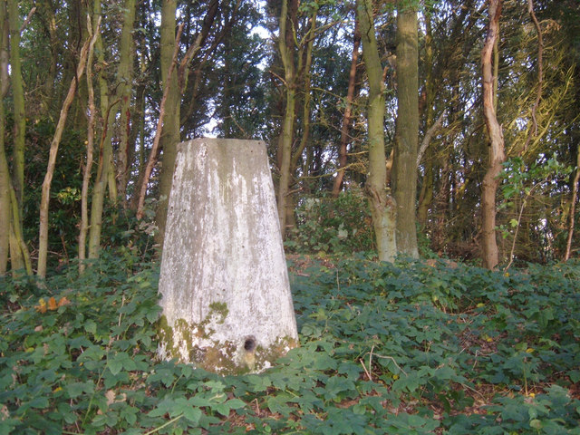
Image: © michael ely Taken: 16 Oct 2006
Situated at the edge of a hill-top wood near to Prestbury Golf Club's 9th tee. No golf course is shown on the 1940s OS map where the area is appropriately named Hill Top.
Images are licensed for reuse under creativecommons.org/licenses/by-sa/2.0
Image Location
Latitude
53.282673
Longitude
-2.154445