Springfield Park
Introduction
The photograph on this page of Springfield Park by Rob Burke as part of the Geograph project.
The Geograph project started in 2005 with the aim of publishing, organising and preserving representative images for every square kilometre of Great Britain, Ireland and the Isle of Man.

There are currently over 7.5m images from over 14,400 individuals and you can help contribute to the project by visiting https://www.geograph.org.uk
Springfield Park
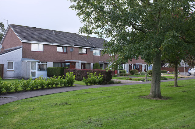
Image: © Rob Burke Taken: 17 Sep 2011
Terraced houses with footpath access to the fronts. They face a small public area of grass and trees.
Images are licensed for reuse under creativecommons.org/licenses/by-sa/2.0
Image Location
Latitude
56.208968
Longitude
-3.429924