Former orangery, Worsopp Drive
Introduction
The photograph on this page of Former orangery, Worsopp Drive by Stephen Richards as part of the Geograph project.
The Geograph project started in 2005 with the aim of publishing, organising and preserving representative images for every square kilometre of Great Britain, Ireland and the Isle of Man.

There are currently over 7.5m images from over 14,400 individuals and you can help contribute to the project by visiting https://www.geograph.org.uk
Former orangery, Worsopp Drive
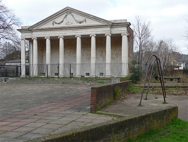
Image: © Stephen Richards Taken: 6 Mar 2011
With an elegant Ionic portico and pediment adorned with cartouche and festoons. Built in 1793 to the designs of Dr William Burgh of York. It was originally attached to Thornton House, demolished in the 1940s, and now stands desultorily in the middle of a post-war housing estate. It is on English Heritage's Heritage at Risk Register. Grade II listed.
Images are licensed for reuse under creativecommons.org/licenses/by-sa/2.0
Image Location
Latitude
51.458828
Longitude
-0.138407