A4233, Porth
Introduction
The photograph on this page of A4233, Porth by Jaggery as part of the Geograph project.
The Geograph project started in 2005 with the aim of publishing, organising and preserving representative images for every square kilometre of Great Britain, Ireland and the Isle of Man.

There are currently over 7.5m images from over 14,400 individuals and you can help contribute to the project by visiting https://www.geograph.org.uk
A4233, Porth
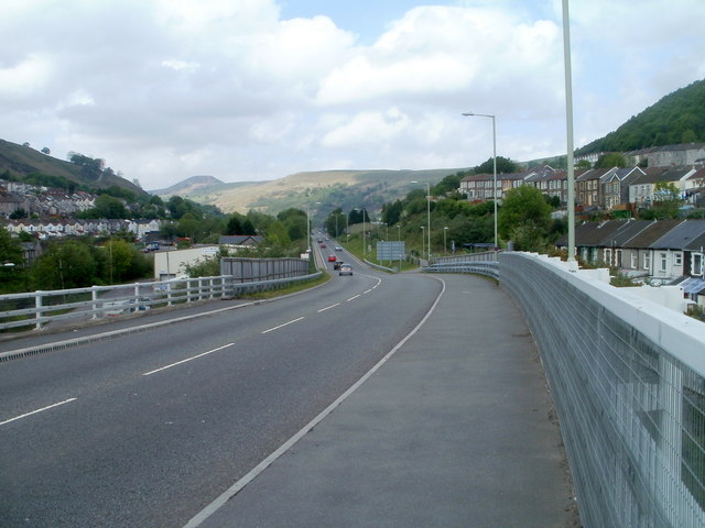
Image: © Jaggery Taken: 6 May 2011
Viewed from the northern side of Rheola Bridge, http://www.geograph.org.uk/photo/2612372 the A4233 heads towards Ynyshir.
Images are licensed for reuse under creativecommons.org/licenses/by-sa/2.0
Image Location
Latitude
51.615636
Longitude
-3.41104