Holly Lane
Introduction
The photograph on this page of Holly Lane by Alan Hunt as part of the Geograph project.
The Geograph project started in 2005 with the aim of publishing, organising and preserving representative images for every square kilometre of Great Britain, Ireland and the Isle of Man.

There are currently over 7.5m images from over 14,400 individuals and you can help contribute to the project by visiting https://www.geograph.org.uk
Holly Lane
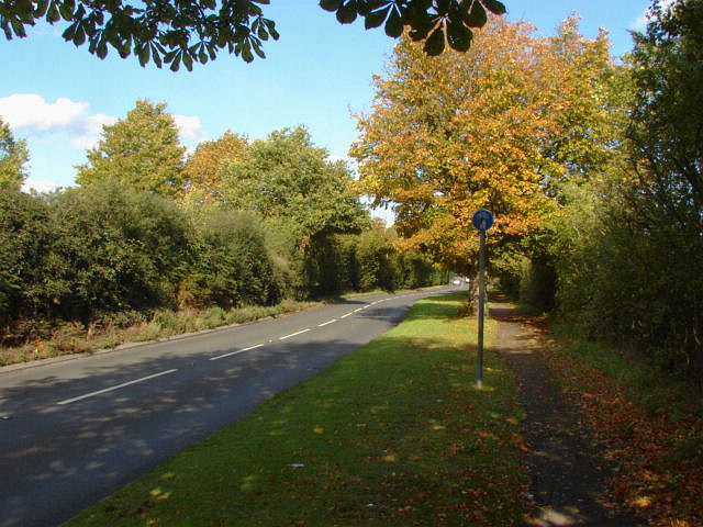
Image: © Alan Hunt Taken: 21 Sep 2011
The short stretch of road that connects the A322 with the A323. The Merrist Wood estate is on the left.
Images are licensed for reuse under creativecommons.org/licenses/by-sa/2.0
Image Location
Latitude
51.267179
Longitude
-0.617623