Acorn Public House - site of
Introduction
The photograph on this page of Acorn Public House - site of by Chris Lordan as part of the Geograph project.
The Geograph project started in 2005 with the aim of publishing, organising and preserving representative images for every square kilometre of Great Britain, Ireland and the Isle of Man.

There are currently over 7.5m images from over 14,400 individuals and you can help contribute to the project by visiting https://www.geograph.org.uk
Acorn Public House - site of
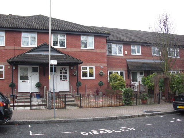
Image: © Chris Lordan Taken: 20 Feb 2011
It was at 339 Rotherhithe Street, Rotherhithe, London SE16 from 1787 until 1942, when, I assume, it was destroyed by enemy bombing. Today's street numbers are 325-327.
Images are licensed for reuse under creativecommons.org/licenses/by-sa/2.0
Image Location
Latitude
51.499409
Longitude
-0.035179