Crane and Ships on West Float
Introduction
The photograph on this page of Crane and Ships on West Float by Antony Dixon as part of the Geograph project.
The Geograph project started in 2005 with the aim of publishing, organising and preserving representative images for every square kilometre of Great Britain, Ireland and the Isle of Man.

There are currently over 7.5m images from over 14,400 individuals and you can help contribute to the project by visiting https://www.geograph.org.uk
Crane and Ships on West Float
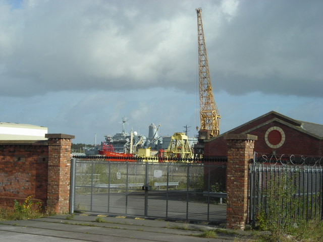
Image: © Antony Dixon Taken: 22 Sep 2011
Crane and ships on West Float seen through a gateway on Beaufort Road. Rails of the old dock railway in the foreground.
Images are licensed for reuse under creativecommons.org/licenses/by-sa/2.0
Image Location


Leaflet Map data © OpenStreetMap
Latitude
53.407309
Longitude
-3.051437