Brentmoor Road
Introduction
The photograph on this page of Brentmoor Road by Alan Hunt as part of the Geograph project.
The Geograph project started in 2005 with the aim of publishing, organising and preserving representative images for every square kilometre of Great Britain, Ireland and the Isle of Man.

There are currently over 7.5m images from over 14,400 individuals and you can help contribute to the project by visiting https://www.geograph.org.uk
Brentmoor Road
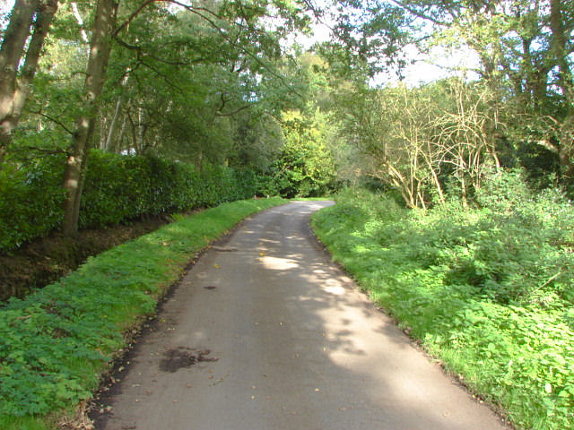
Image: © Alan Hunt Taken: 21 Sep 2011
Brentmoor Road very near its end where it joins the Priest Lane bridleway and the track to the Pirbright Range gate.
Images are licensed for reuse under creativecommons.org/licenses/by-sa/2.0
Image Location
Latitude
51.33704
Longitude
-0.663328