Housing on Fordmill Road
Introduction
The photograph on this page of Housing on Fordmill Road by David Anstiss as part of the Geograph project.
The Geograph project started in 2005 with the aim of publishing, organising and preserving representative images for every square kilometre of Great Britain, Ireland and the Isle of Man.

There are currently over 7.5m images from over 14,400 individuals and you can help contribute to the project by visiting https://www.geograph.org.uk
Housing on Fordmill Road
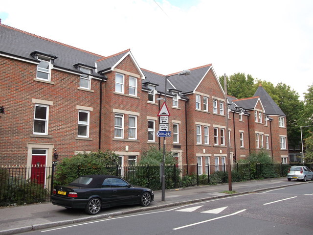
Image: © David Anstiss Taken: 18 Sep 2011
Town houses on the road near the junction with Canadian Avenue. The corner house (far right) has a roof - referenced from a Oast House Cowl.
Images are licensed for reuse under creativecommons.org/licenses/by-sa/2.0
Image Location
Latitude
51.440298
Longitude
-0.022752