Track to Lower Moor Side Farm Altham
Introduction
The photograph on this page of Track to Lower Moor Side Farm Altham by Steve Houldsworth as part of the Geograph project.
The Geograph project started in 2005 with the aim of publishing, organising and preserving representative images for every square kilometre of Great Britain, Ireland and the Isle of Man.

There are currently over 7.5m images from over 14,400 individuals and you can help contribute to the project by visiting https://www.geograph.org.uk
Track to Lower Moor Side Farm Altham
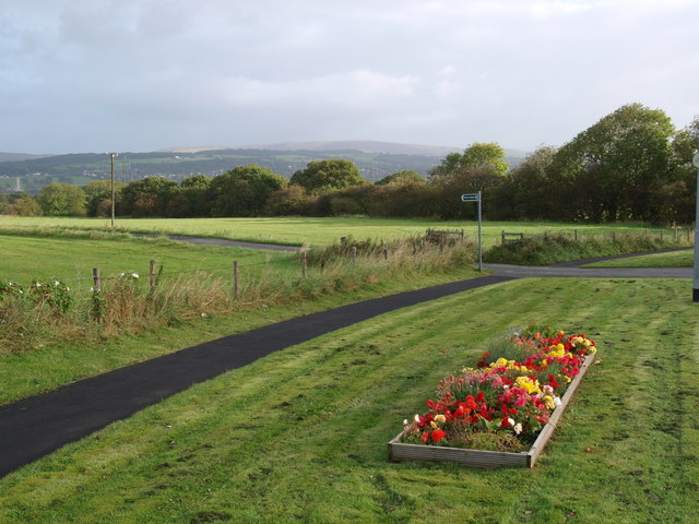
Image: © Steve Houldsworth Taken: 21 Sep 2011
The junction with the track and footpath to Lower Moor Side farm where it meets the A678 at Altham, the A678 is just out of the picture on the right.
Images are licensed for reuse under creativecommons.org/licenses/by-sa/2.0
Image Location
Latitude
53.784039
Longitude
-2.364509