Footpath Junction Lower Moor Side Farm
Introduction
The photograph on this page of Footpath Junction Lower Moor Side Farm by Steve Houldsworth as part of the Geograph project.
The Geograph project started in 2005 with the aim of publishing, organising and preserving representative images for every square kilometre of Great Britain, Ireland and the Isle of Man.

There are currently over 7.5m images from over 14,400 individuals and you can help contribute to the project by visiting https://www.geograph.org.uk
Footpath Junction Lower Moor Side Farm
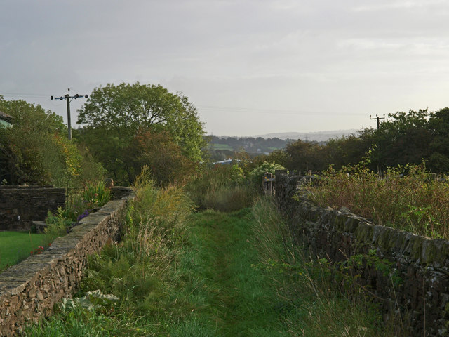
Image: © Steve Houldsworth Taken: 21 Sep 2011
The Junction of the footpath where it meets the track leading from the A678, from here it is possible to walk forwards to Syke Side or Brownsills farms, the track can be very wet after any rainfall.
Images are licensed for reuse under creativecommons.org/licenses/by-sa/2.0
Image Location
Latitude
53.786194
Longitude
-2.365287