Hythe, Royal Military Canal
Introduction
The photograph on this page of Hythe, Royal Military Canal by Helmut Zozmann as part of the Geograph project.
The Geograph project started in 2005 with the aim of publishing, organising and preserving representative images for every square kilometre of Great Britain, Ireland and the Isle of Man.

There are currently over 7.5m images from over 14,400 individuals and you can help contribute to the project by visiting https://www.geograph.org.uk
Hythe, Royal Military Canal
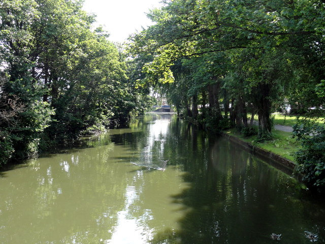
Image: © Helmut Zozmann Taken: 24 Jul 2011
Hythe, Royal Military Canal seen from footbridge. The Royal Military Canal is a canal running for 28 miles between Seabrook near Folkestone and Cliff End near Hastings, following the old cliff line bordering Romney Marsh.
Images are licensed for reuse under creativecommons.org/licenses/by-sa/2.0
Image Location
Latitude
51.07118
Longitude
1.077109