NE side of St Michael and All Angels Church, Llantarnam
Introduction
The photograph on this page of NE side of St Michael and All Angels Church, Llantarnam by Jaggery as part of the Geograph project.
The Geograph project started in 2005 with the aim of publishing, organising and preserving representative images for every square kilometre of Great Britain, Ireland and the Isle of Man.

There are currently over 7.5m images from over 14,400 individuals and you can help contribute to the project by visiting https://www.geograph.org.uk
NE side of St Michael and All Angels Church, Llantarnam
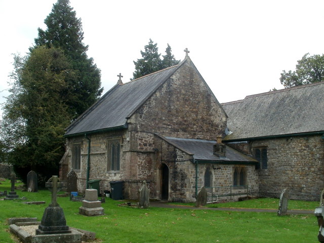
Image: © Jaggery Taken: 21 Sep 2011
The church, of early 12th century design, was built on the site of an earlier building. There have been many alterations, additions and rebuilds in the following centuries. The church was Grade II* listed in January 1951.
Images are licensed for reuse under creativecommons.org/licenses/by-sa/2.0
Image Location
Latitude
51.632423
Longitude
-3.002659