The Glebe, Inverkip
Introduction
The photograph on this page of The Glebe, Inverkip by Thomas Nugent as part of the Geograph project.
The Geograph project started in 2005 with the aim of publishing, organising and preserving representative images for every square kilometre of Great Britain, Ireland and the Isle of Man.

There are currently over 7.5m images from over 14,400 individuals and you can help contribute to the project by visiting https://www.geograph.org.uk
The Glebe, Inverkip
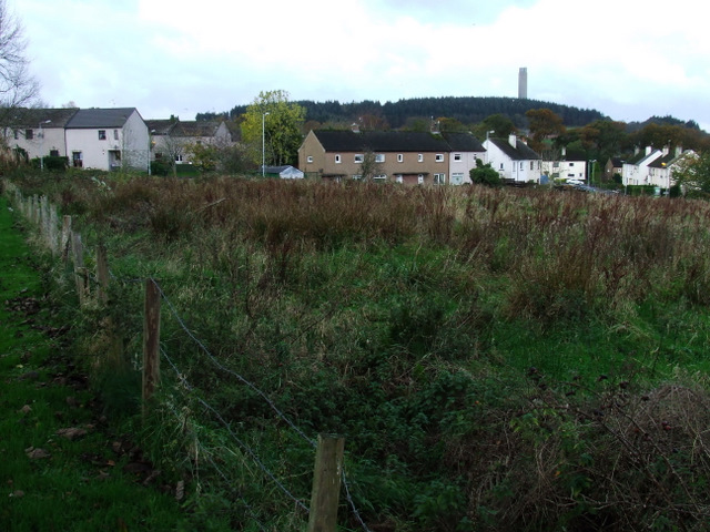
Image: © Thomas Nugent Taken: 7 Nov 2007
Langhouse Road and Glebe Road are visible in the background of this photo which was taken from Langhouse Place. Inverkip Power Station chimney can be seen peeking over the top of Berfern Plantation on the horizon.
Images are licensed for reuse under creativecommons.org/licenses/by-sa/2.0
Image Location
Latitude
55.908599
Longitude
-4.861889