Part of former route of Exe Valley Way
Introduction
The photograph on this page of Part of former route of Exe Valley Way by David Smith as part of the Geograph project.
The Geograph project started in 2005 with the aim of publishing, organising and preserving representative images for every square kilometre of Great Britain, Ireland and the Isle of Man.

There are currently over 7.5m images from over 14,400 individuals and you can help contribute to the project by visiting https://www.geograph.org.uk
Part of former route of Exe Valley Way
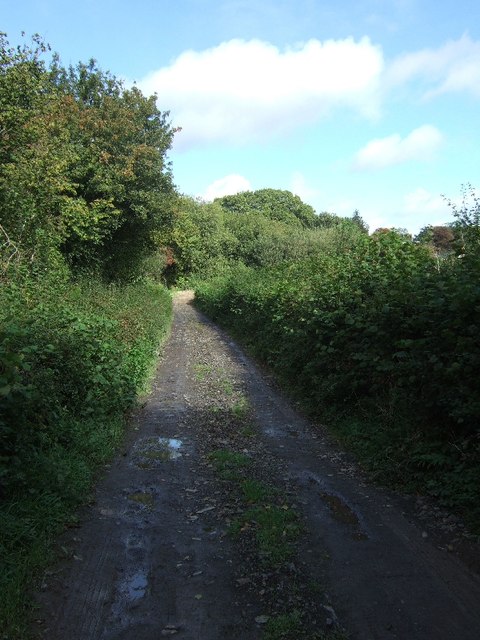
Image: © David Smith Taken: 21 Sep 2011
The Exe Valley Way was officially rerouted away from this farm track in 2011; however, the OS map continues to show this as the route, and the signing is deficient (which is why the photographer found himself here).
Images are licensed for reuse under creativecommons.org/licenses/by-sa/2.0
Image Location
Latitude
51.0196
Longitude
-3.541003