Access road to former railway station in Brushford
Introduction
The photograph on this page of Access road to former railway station in Brushford by David Smith as part of the Geograph project.
The Geograph project started in 2005 with the aim of publishing, organising and preserving representative images for every square kilometre of Great Britain, Ireland and the Isle of Man.

There are currently over 7.5m images from over 14,400 individuals and you can help contribute to the project by visiting https://www.geograph.org.uk
Access road to former railway station in Brushford
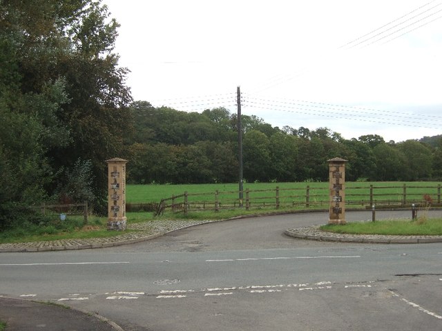
Image: © David Smith Taken: 21 Sep 2011
It is not clear what is the purpose of the two pillars.
Images are licensed for reuse under creativecommons.org/licenses/by-sa/2.0
Image Location
Latitude
51.021054
Longitude
-3.533066