Poke ( Pook ) Lane-Trull
Introduction
The photograph on this page of Poke ( Pook ) Lane-Trull by Nick Chipchase as part of the Geograph project.
The Geograph project started in 2005 with the aim of publishing, organising and preserving representative images for every square kilometre of Great Britain, Ireland and the Isle of Man.

There are currently over 7.5m images from over 14,400 individuals and you can help contribute to the project by visiting https://www.geograph.org.uk
Poke ( Pook ) Lane-Trull
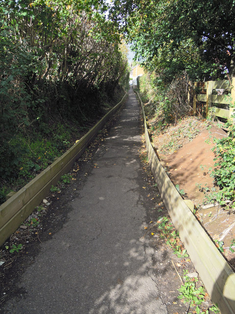
Image: © Nick Chipchase Taken: 21 Sep 2011
Forms the end of the footpath from Spearcey Lane to Trull. In earlier years the trees overhung the lane to form a tunnel. It is all much tidier now.
Images are licensed for reuse under creativecommons.org/licenses/by-sa/2.0
Image Location
Latitude
50.993105
Longitude
-3.119623