Turret Burn bridge
Introduction
The photograph on this page of Turret Burn bridge by James Allan as part of the Geograph project.
The Geograph project started in 2005 with the aim of publishing, organising and preserving representative images for every square kilometre of Great Britain, Ireland and the Isle of Man.

There are currently over 7.5m images from over 14,400 individuals and you can help contribute to the project by visiting https://www.geograph.org.uk
Turret Burn bridge
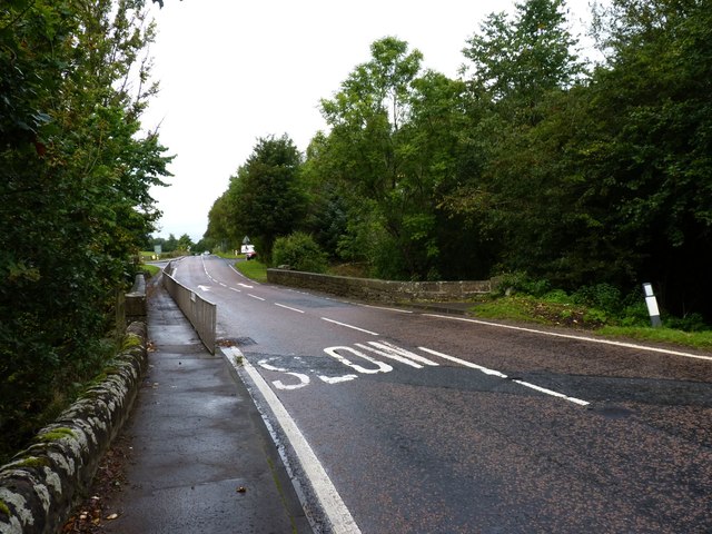
Image: © James Allan Taken: 19 Sep 2011
Carrying the A85 from Creiff towards Comrie across the Turret Burn.
Images are licensed for reuse under creativecommons.org/licenses/by-sa/2.0
Image Location
Latitude
56.383609
Longitude
-3.853206