The top end of Bowker Street
Introduction
The photograph on this page of The top end of Bowker Street by Andrew Tatlow as part of the Geograph project.
The Geograph project started in 2005 with the aim of publishing, organising and preserving representative images for every square kilometre of Great Britain, Ireland and the Isle of Man.

There are currently over 7.5m images from over 14,400 individuals and you can help contribute to the project by visiting https://www.geograph.org.uk
The top end of Bowker Street
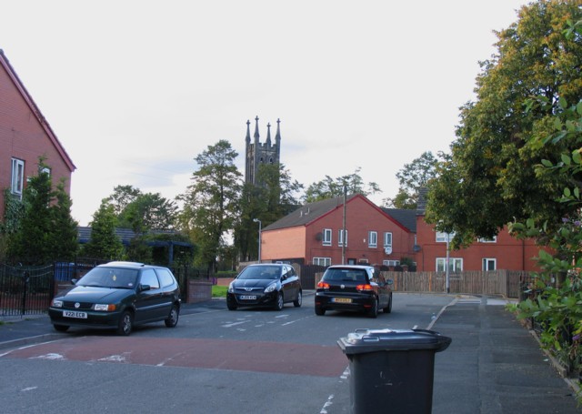
Image: © Andrew Tatlow Taken: 2 Sep 2011
The church in the background was dedicated to St John the Evangelist but was closed on 1 March 2008.
Images are licensed for reuse under creativecommons.org/licenses/by-sa/2.0
Image Location
Latitude
53.504504
Longitude
-2.261694