Edge of Frome
Introduction
The photograph on this page of Edge of Frome by Nigel Mykura as part of the Geograph project.
The Geograph project started in 2005 with the aim of publishing, organising and preserving representative images for every square kilometre of Great Britain, Ireland and the Isle of Man.

There are currently over 7.5m images from over 14,400 individuals and you can help contribute to the project by visiting https://www.geograph.org.uk
Edge of Frome
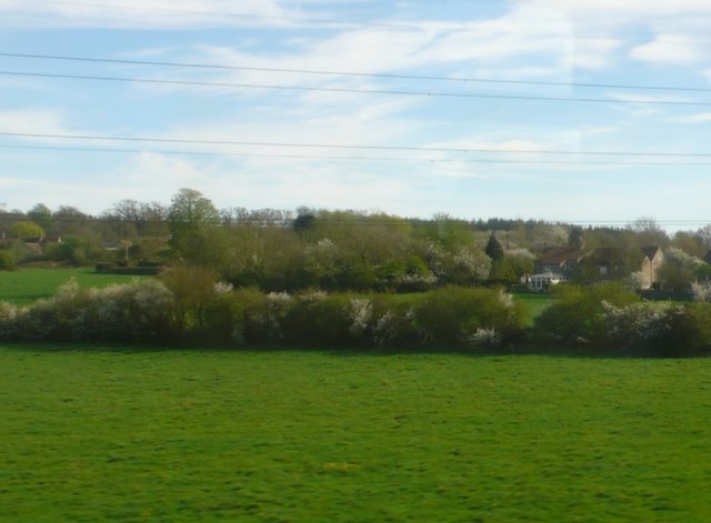
Image: © Nigel Mykura Taken: 6 Apr 2011
At one time none of the town was east of the River From but now nearly half of it is. This is the back of one of the large housing estates on the north eastern edge of the town, viewed from a Yeovil to Bristol train.
Images are licensed for reuse under creativecommons.org/licenses/by-sa/2.0
Image Location
Latitude
51.240531
Longitude
-2.292753