Linlithgow Road, Borrowstoun
Introduction
The photograph on this page of Linlithgow Road, Borrowstoun by Richard Webb as part of the Geograph project.
The Geograph project started in 2005 with the aim of publishing, organising and preserving representative images for every square kilometre of Great Britain, Ireland and the Isle of Man.

There are currently over 7.5m images from over 14,400 individuals and you can help contribute to the project by visiting https://www.geograph.org.uk
Linlithgow Road, Borrowstoun
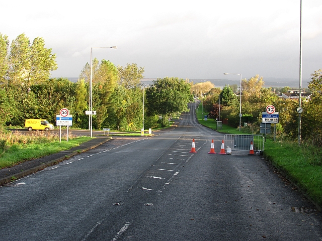
Image: © Richard Webb Taken: 20 Sep 2011
Looking down yet another closed road towards Bo'ness along the A706. At this time there were many road closures, often in cases where a few years earlier there would have been lights or a stop/go board. Many of my journeys are affected/thwarted. This road was closed for several weeks.
Images are licensed for reuse under creativecommons.org/licenses/by-sa/2.0
Image Location
Latitude
56.00314
Longitude
-3.609622