Myddelton Avenue, Forty Hill
Introduction
The photograph on this page of Myddelton Avenue, Forty Hill by David Howard as part of the Geograph project.
The Geograph project started in 2005 with the aim of publishing, organising and preserving representative images for every square kilometre of Great Britain, Ireland and the Isle of Man.

There are currently over 7.5m images from over 14,400 individuals and you can help contribute to the project by visiting https://www.geograph.org.uk
Myddelton Avenue, Forty Hill
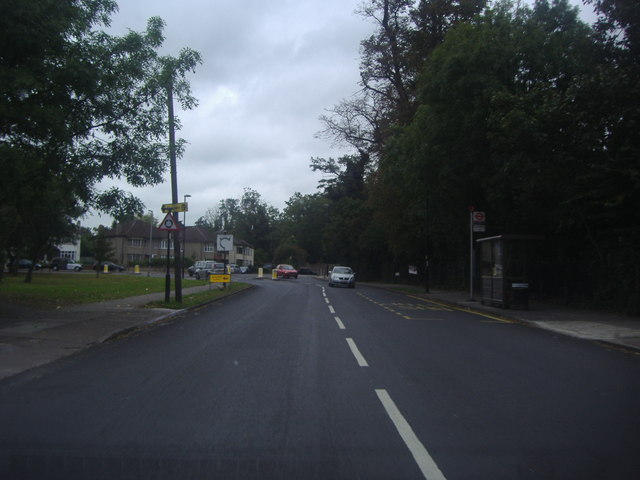
Image: © David Howard Taken: 20 Sep 2011
Approaching the roundabout. The right hand exit has been blocked, requiring drivers to take quite a complicated diversion to and from Forty Hill and enter the main road traffic to turn right into Myddelton Avenue heading south. As road closures go this is one of the most questionable I have ever seen.
Images are licensed for reuse under creativecommons.org/licenses/by-sa/2.0
Image Location
Latitude
51.666118
Longitude
-0.072369