Bridleway on the eastern side of Winterfold Wood
Introduction
The photograph on this page of Bridleway on the eastern side of Winterfold Wood by Shazz as part of the Geograph project.
The Geograph project started in 2005 with the aim of publishing, organising and preserving representative images for every square kilometre of Great Britain, Ireland and the Isle of Man.

There are currently over 7.5m images from over 14,400 individuals and you can help contribute to the project by visiting https://www.geograph.org.uk
Bridleway on the eastern side of Winterfold Wood
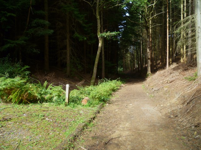
Image: © Shazz Taken: 19 Sep 2011
This appears to have a blue bridleway marker. I am not quite sure if I have placed the picture rightly. Some maps show a bridleway and others a footpath.
Images are licensed for reuse under creativecommons.org/licenses/by-sa/2.0
Image Location
Latitude
51.183431
Longitude
-0.477763