Bang goes the green belt
Introduction
The photograph on this page of Bang goes the green belt by Thomas Nugent as part of the Geograph project.
The Geograph project started in 2005 with the aim of publishing, organising and preserving representative images for every square kilometre of Great Britain, Ireland and the Isle of Man.

There are currently over 7.5m images from over 14,400 individuals and you can help contribute to the project by visiting https://www.geograph.org.uk
Bang goes the green belt
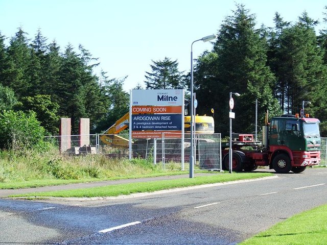
Image: © Thomas Nugent Taken: 20 Aug 2007
The beginning of the end for the designated greenbelt land to the south of Inverkip railway station.
Images are licensed for reuse under creativecommons.org/licenses/by-sa/2.0
Image Location
Latitude
55.901104
Longitude
-4.871096