Monarchs Way and Gloucestershire Way
Introduction
The photograph on this page of Monarchs Way and Gloucestershire Way by Nigel Mykura as part of the Geograph project.
The Geograph project started in 2005 with the aim of publishing, organising and preserving representative images for every square kilometre of Great Britain, Ireland and the Isle of Man.

There are currently over 7.5m images from over 14,400 individuals and you can help contribute to the project by visiting https://www.geograph.org.uk
Monarchs Way and Gloucestershire Way
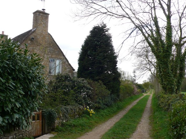
Image: © Nigel Mykura Taken: 4 Apr 2011
These two long distance footpaths go through Stow on the Wold and leave the A429 the Fosse way at this point next to Quarwood Cottage. They intersect with another long distance footpath the heart of England Way, a few hundred metres further on.
Images are licensed for reuse under creativecommons.org/licenses/by-sa/2.0
Image Location
Latitude
51.923385
Longitude
-1.727159