Road junction at Redberth
Introduction
The photograph on this page of Road junction at Redberth by Philip Halling as part of the Geograph project.
The Geograph project started in 2005 with the aim of publishing, organising and preserving representative images for every square kilometre of Great Britain, Ireland and the Isle of Man.

There are currently over 7.5m images from over 14,400 individuals and you can help contribute to the project by visiting https://www.geograph.org.uk
Road junction at Redberth
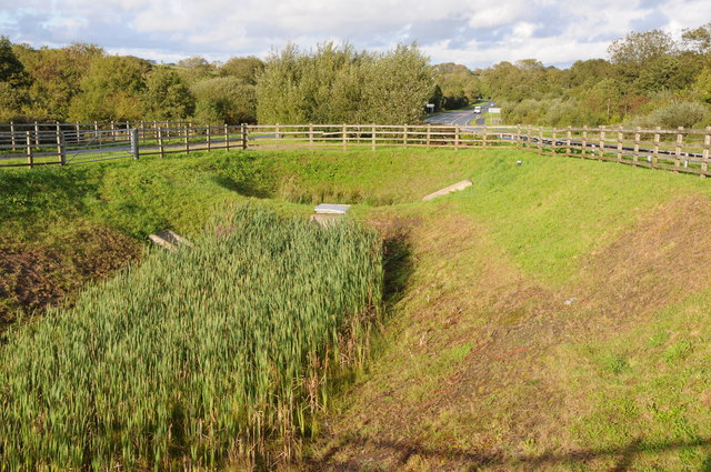
Image: © Philip Halling Taken: 17 Sep 2011
A wetland area has been created here beside this junction beside the A477 and the road from Redberth.
Images are licensed for reuse under creativecommons.org/licenses/by-sa/2.0
Image Location
Latitude
51.705085
Longitude
-4.770713