Jordanstown station and level crossing (2)
Introduction
The photograph on this page of Jordanstown station and level crossing (2) by Albert Bridge as part of the Geograph project.
The Geograph project started in 2005 with the aim of publishing, organising and preserving representative images for every square kilometre of Great Britain, Ireland and the Isle of Man.

There are currently over 7.5m images from over 14,400 individuals and you can help contribute to the project by visiting https://www.geograph.org.uk
Jordanstown station and level crossing (2)
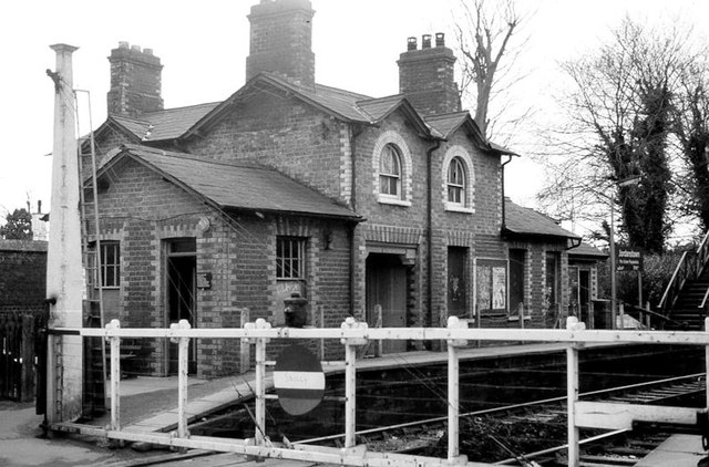
Image: © Albert Bridge Taken: 13 Feb 1982
See Image The old station and crossing gates seen from the Jordanstown Road. Image shows a similar view in March 2014.
Images are licensed for reuse under creativecommons.org/licenses/by-sa/2.0
Image Location
Latitude
54.687287
Longitude
-5.895097