River Test at Redbridge
Introduction
The photograph on this page of River Test at Redbridge by Stuart Logan as part of the Geograph project.
The Geograph project started in 2005 with the aim of publishing, organising and preserving representative images for every square kilometre of Great Britain, Ireland and the Isle of Man.

There are currently over 7.5m images from over 14,400 individuals and you can help contribute to the project by visiting https://www.geograph.org.uk
River Test at Redbridge
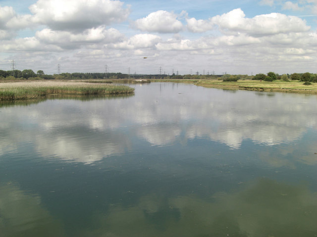
Image: © Stuart Logan Taken: 15 Sep 2011
This is the lowest bridging point of the 40 mile long river. It starts just west of Basingstoke and for much of its length is a World renowned trout fishery. The trout thrive in its fast flowing chalky waters but down here, viewed from the 17th C disused Red Bridge, the tide is sweeping in.
Images are licensed for reuse under creativecommons.org/licenses/by-sa/2.0
Image Location
Latitude
50.922121
Longitude
-1.475826