The King's Arms, Baker Street
Introduction
The photograph on this page of The King's Arms, Baker Street by Robin Webster as part of the Geograph project.
The Geograph project started in 2005 with the aim of publishing, organising and preserving representative images for every square kilometre of Great Britain, Ireland and the Isle of Man.

There are currently over 7.5m images from over 14,400 individuals and you can help contribute to the project by visiting https://www.geograph.org.uk
The King's Arms, Baker Street
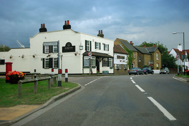
Image: © Robin Webster Taken: 18 Sep 2011
As well as the road to the left being called Baker Street, the whole settlement around this crossroads has the same name.
Images are licensed for reuse under creativecommons.org/licenses/by-sa/2.0
Image Location
Latitude
51.507734
Longitude
0.352832