Semington Aqueduct
Introduction
The photograph on this page of Semington Aqueduct by Stephen McKay as part of the Geograph project.
The Geograph project started in 2005 with the aim of publishing, organising and preserving representative images for every square kilometre of Great Britain, Ireland and the Isle of Man.

There are currently over 7.5m images from over 14,400 individuals and you can help contribute to the project by visiting https://www.geograph.org.uk
Semington Aqueduct
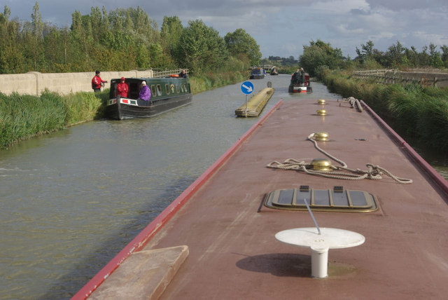
Image: © Stephen McKay Taken: 13 Sep 2011
The Kennet and Avon Canal crosses the new A350 at Semington by means of an aqueduct, necessitating this highly unusual stretch of 'dual carriageway'.
Images are licensed for reuse under creativecommons.org/licenses/by-sa/2.0
Image Location
Latitude
51.347189
Longitude
-2.138507