Downiehills Farm
Introduction
The photograph on this page of Downiehills Farm by Ken Fitlike as part of the Geograph project.
The Geograph project started in 2005 with the aim of publishing, organising and preserving representative images for every square kilometre of Great Britain, Ireland and the Isle of Man.

There are currently over 7.5m images from over 14,400 individuals and you can help contribute to the project by visiting https://www.geograph.org.uk
Downiehills Farm
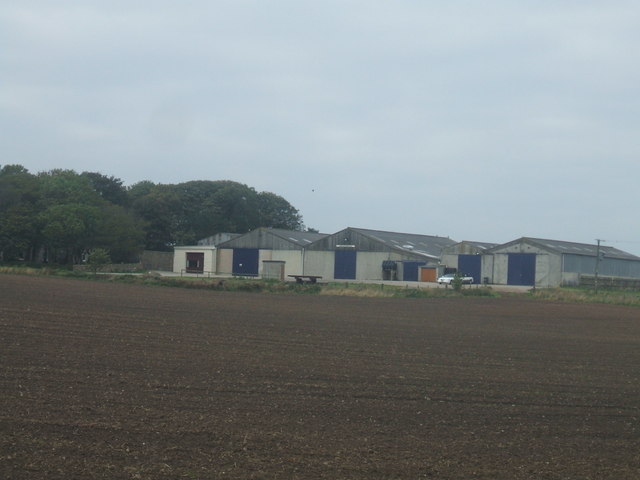
Image: © Ken Fitlike Taken: 15 Oct 2006
About 2 miles out of Peterhead going towards Mintlaw. Probably the only farm steading in Aberdeenshire that day with a stretch limo parked in the yard!
Images are licensed for reuse under creativecommons.org/licenses/by-sa/2.0
Image Location
Latitude
57.51131
Longitude
-1.859784