Main road, Vatersay
Introduction
The photograph on this page of Main road, Vatersay by Hugh Venables as part of the Geograph project.
The Geograph project started in 2005 with the aim of publishing, organising and preserving representative images for every square kilometre of Great Britain, Ireland and the Isle of Man.

There are currently over 7.5m images from over 14,400 individuals and you can help contribute to the project by visiting https://www.geograph.org.uk
Main road, Vatersay
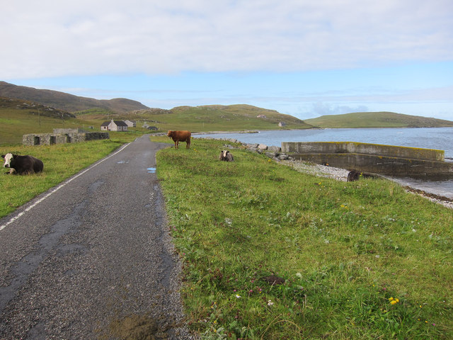
Image: © Hugh Venables Taken: 3 Sep 2011
Single track road with passing places, some cattle grazing, a small jetty, dispersing buildings (some abandoned). All very Hebridean.
Images are licensed for reuse under creativecommons.org/licenses/by-sa/2.0
Image Location
Latitude
56.945678
Longitude
-7.537835