A3025 junction with St Anne's Road
Introduction
The photograph on this page of A3025 junction with St Anne's Road by Stuart Logan as part of the Geograph project.
The Geograph project started in 2005 with the aim of publishing, organising and preserving representative images for every square kilometre of Great Britain, Ireland and the Isle of Man.

There are currently over 7.5m images from over 14,400 individuals and you can help contribute to the project by visiting https://www.geograph.org.uk
A3025 junction with St Anne's Road
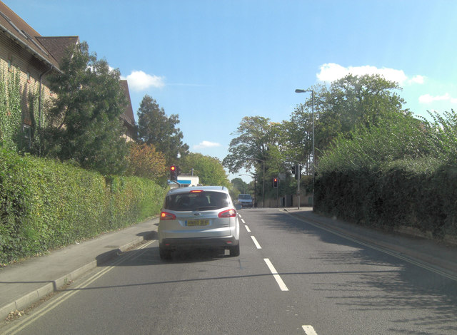
Image: © Stuart Logan Taken: 15 Sep 2011
The A3025 is called the Portsmouth Road at this point and opposite St Anne's Road is Station Road.
Images are licensed for reuse under creativecommons.org/licenses/by-sa/2.0
Image Location


Leaflet Map data © OpenStreetMap
Latitude
50.896226
Longitude
-1.367482