Hennock Primary School
Introduction
The photograph on this page of Hennock Primary School by Robin Stott as part of the Geograph project.
The Geograph project started in 2005 with the aim of publishing, organising and preserving representative images for every square kilometre of Great Britain, Ireland and the Isle of Man.

There are currently over 7.5m images from over 14,400 individuals and you can help contribute to the project by visiting https://www.geograph.org.uk
Hennock Primary School
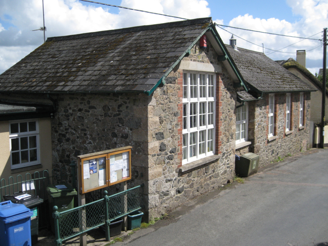
Image: © Robin Stott Taken: 25 Aug 2011
Looking down on it from the children's playground. The walls are of four materials: a local orange brick and two stones: the light-coloured granite and a darker stone seen locally, assumed to be volcanic; the lintels and window cills look like modern concrete.
Images are licensed for reuse under creativecommons.org/licenses/by-sa/2.0
Image Location
Latitude
50.615167
Longitude
-3.653266