Valley west of Callington
Introduction
The photograph on this page of Valley west of Callington by Tony Atkin as part of the Geograph project.
The Geograph project started in 2005 with the aim of publishing, organising and preserving representative images for every square kilometre of Great Britain, Ireland and the Isle of Man.

There are currently over 7.5m images from over 14,400 individuals and you can help contribute to the project by visiting https://www.geograph.org.uk
Valley west of Callington
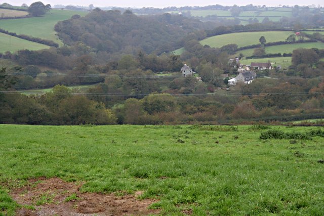
Image: © Tony Atkin Taken: 14 Oct 2006
This shot looks down on West Farm and Hayle Farm at the confluence of two valleys in the northeastern part of this grid square. These streams join the River Lynher about a kilometre to the southwest.
Images are licensed for reuse under creativecommons.org/licenses/by-sa/2.0
Image Location
Latitude
50.504634
Longitude
-4.33099