Road to Beck Hole or Darnholm
Introduction
The photograph on this page of Road to Beck Hole or Darnholm by Pauline E as part of the Geograph project.
The Geograph project started in 2005 with the aim of publishing, organising and preserving representative images for every square kilometre of Great Britain, Ireland and the Isle of Man.

There are currently over 7.5m images from over 14,400 individuals and you can help contribute to the project by visiting https://www.geograph.org.uk
Road to Beck Hole or Darnholm
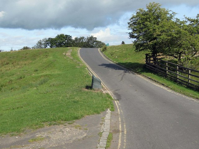
Image: © Pauline E Taken: 15 Sep 2011
Taken from the point where the Rail Trail crosses the minor road.
Images are licensed for reuse under creativecommons.org/licenses/by-sa/2.0
Image Location
Latitude
54.403816
Longitude
-0.722116