Priest's house, Black Chapel
Introduction
The photograph on this page of Priest's house, Black Chapel by Robin Webster as part of the Geograph project.
The Geograph project started in 2005 with the aim of publishing, organising and preserving representative images for every square kilometre of Great Britain, Ireland and the Isle of Man.

There are currently over 7.5m images from over 14,400 individuals and you can help contribute to the project by visiting https://www.geograph.org.uk
Priest's house, Black Chapel
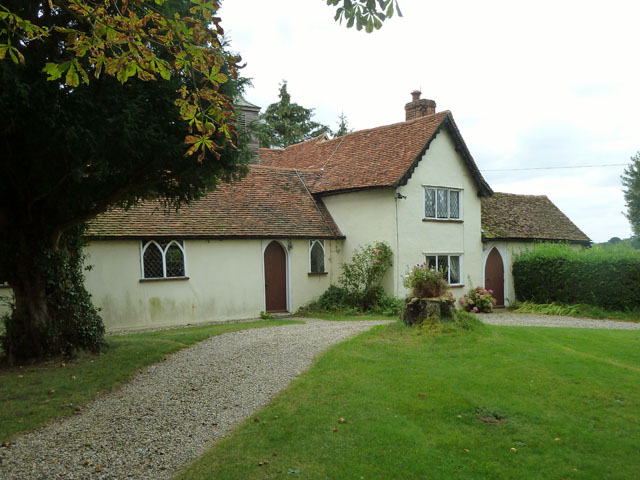
Image: © Robin Webster Taken: 15 Sep 2011
As one with the chapel, which extends to the left. Despite the ominous name, this is merely a satellite Church of England place of worship for the north end of the extensive Great Waltham parish. Presumably the chapel was once black.
Images are licensed for reuse under creativecommons.org/licenses/by-sa/2.0
Image Location
Latitude
51.835323
Longitude
0.411679