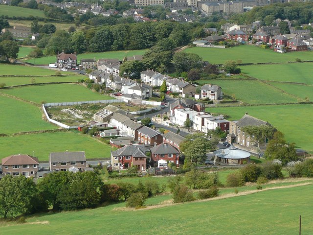
High Lane, Almondbury
Introduction
The photograph on this page of High Lane, Almondbury by Humphrey Bolton as part of the Geograph project.
The Geograph project started in 2005 with the aim of publishing, organising and preserving representative images for every square kilometre of Great Britain, Ireland and the Isle of Man.
There are currently over 7.5m images from over 14,400 individuals and you can help contribute to the project by visiting https://www.geograph.org.uk

Image: © Humphrey Bolton Taken: 10 Sep 2011
The round house is a converted reservoir, formerly belonging to Huddersfield Corporation Water Works. next to it is Hall Bower Sunday School.then some flat-roofed houses, built probably in the late 1930s as they are shown in outline on the war-time revision of the six-inch map. The houses opposite are not on that map, so are post-war. The fenced-off area and building with much of the roof missing is the remains of Goodham Farm. Furthest away is the Victoria Hotel, with mock half-timbering.

