Lane junction at Smallshoes
Introduction
The photograph on this page of Lane junction at Smallshoes by Robin Webster as part of the Geograph project.
The Geograph project started in 2005 with the aim of publishing, organising and preserving representative images for every square kilometre of Great Britain, Ireland and the Isle of Man.

There are currently over 7.5m images from over 14,400 individuals and you can help contribute to the project by visiting https://www.geograph.org.uk
Lane junction at Smallshoes
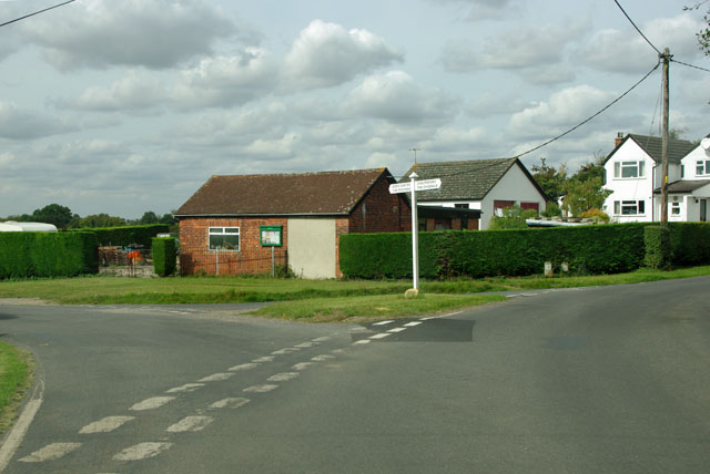
Image: © Robin Webster Taken: 15 Sep 2011
This is the land of places with double-barrelled, repetitive names. The sign points to the Rodings (a great many of these) and one of the Easters to the left, another Easter to the right, and the Chignals towards the camera. Chignal is spelt thus on the sign, the modern preference seems to be Chignall. Only the Easters can be described as reasonably focussed villages. The others are diffuse areas with an often isolated church and a manor house of some sort.
Images are licensed for reuse under creativecommons.org/licenses/by-sa/2.0
Image Location
Latitude
51.787024
Longitude
0.385611