Junction for Mashbury Hall Lane
Introduction
The photograph on this page of Junction for Mashbury Hall Lane by Robin Webster as part of the Geograph project.
The Geograph project started in 2005 with the aim of publishing, organising and preserving representative images for every square kilometre of Great Britain, Ireland and the Isle of Man.

There are currently over 7.5m images from over 14,400 individuals and you can help contribute to the project by visiting https://www.geograph.org.uk
Junction for Mashbury Hall Lane
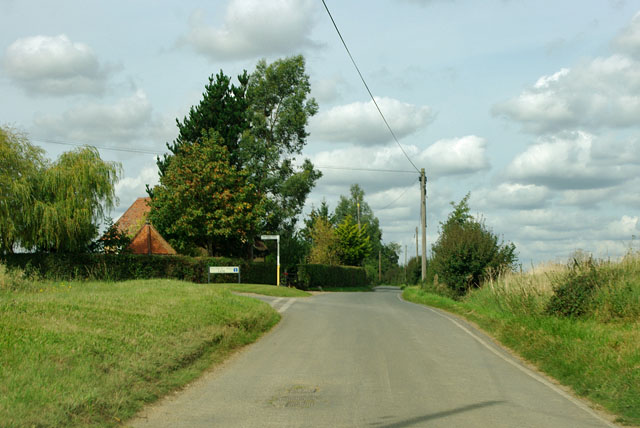
Image: © Robin Webster Taken: 15 Sep 2011
The sign says to Mashbury Hall only, which is not quite right, as Mashbury church is also down there, although not regularly used. Mashbury was the smallest parish in the Chelmsford Borough, having no centre and a population of under eighty. The parish is now merged with Pleshey.
Images are licensed for reuse under creativecommons.org/licenses/by-sa/2.0
Image Location
Latitude
51.783692
Longitude
0.394714