Fryerning Lane enters Ingatestone
Introduction
The photograph on this page of Fryerning Lane enters Ingatestone by Robin Webster as part of the Geograph project.
The Geograph project started in 2005 with the aim of publishing, organising and preserving representative images for every square kilometre of Great Britain, Ireland and the Isle of Man.

There are currently over 7.5m images from over 14,400 individuals and you can help contribute to the project by visiting https://www.geograph.org.uk
Fryerning Lane enters Ingatestone
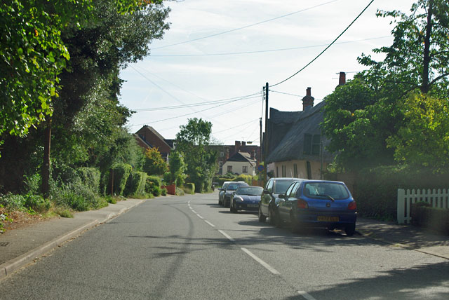
Image: © Robin Webster Taken: 15 Sep 2011
Ingatestone was and is the principal village on the old Roman road between Brentwood and Chelmsford.
Images are licensed for reuse under creativecommons.org/licenses/by-sa/2.0
Image Location
Latitude
51.672031
Longitude
0.384335