Public footpath to Stanterton Wood
Introduction
The photograph on this page of Public footpath to Stanterton Wood by David Smith as part of the Geograph project.
The Geograph project started in 2005 with the aim of publishing, organising and preserving representative images for every square kilometre of Great Britain, Ireland and the Isle of Man.

There are currently over 7.5m images from over 14,400 individuals and you can help contribute to the project by visiting https://www.geograph.org.uk
Public footpath to Stanterton Wood
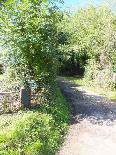
Image: © David Smith Taken: 14 Sep 2011
The footpath starts as part of the drive to a house on the left, but then forks to the right along the track
Images are licensed for reuse under creativecommons.org/licenses/by-sa/2.0
Image Location
Latitude
50.935433
Longitude
-3.506054