Warley Street at Bird Lane junction
Introduction
The photograph on this page of Warley Street at Bird Lane junction by Robin Webster as part of the Geograph project.
The Geograph project started in 2005 with the aim of publishing, organising and preserving representative images for every square kilometre of Great Britain, Ireland and the Isle of Man.

There are currently over 7.5m images from over 14,400 individuals and you can help contribute to the project by visiting https://www.geograph.org.uk
Warley Street at Bird Lane junction
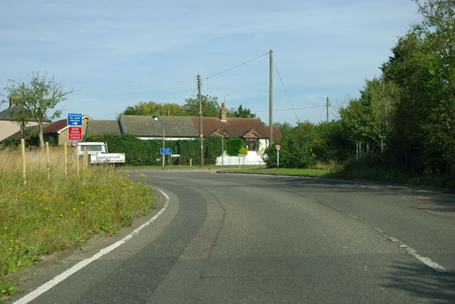
Image: © Robin Webster Taken: 15 Sep 2011
Bird Lane is signed as unsuitable for HGVs. Around the corner is a new road layout, but not having been this way for some years, I can't remember what the old one was!
Images are licensed for reuse under creativecommons.org/licenses/by-sa/2.0
Image Location
Latitude
51.581804
Longitude
0.300073