Warley Street
Introduction
The photograph on this page of Warley Street by Robin Webster as part of the Geograph project.
The Geograph project started in 2005 with the aim of publishing, organising and preserving representative images for every square kilometre of Great Britain, Ireland and the Isle of Man.

There are currently over 7.5m images from over 14,400 individuals and you can help contribute to the project by visiting https://www.geograph.org.uk
Warley Street
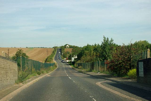
Image: © Robin Webster Taken: 15 Sep 2011
Viewed from the bridge over the LTSR direct route to Southend, this straight road is part of the rectilinear pattern of fields and roads covering much of South Essex.
Images are licensed for reuse under creativecommons.org/licenses/by-sa/2.0
Image Location
Latitude
51.567786
Longitude
0.299509