Stifford Road at Cander Way junction
Introduction
The photograph on this page of Stifford Road at Cander Way junction by Robin Webster as part of the Geograph project.
The Geograph project started in 2005 with the aim of publishing, organising and preserving representative images for every square kilometre of Great Britain, Ireland and the Isle of Man.

There are currently over 7.5m images from over 14,400 individuals and you can help contribute to the project by visiting https://www.geograph.org.uk
Stifford Road at Cander Way junction
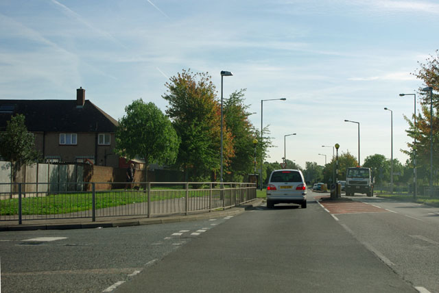
Image: © Robin Webster Taken: 15 Sep 2011
There is a large post-war housing estate to the left, and some further housing to the right.
Images are licensed for reuse under creativecommons.org/licenses/by-sa/2.0
Image Location
Latitude
51.50248
Longitude
0.286565