Another development in Victory Pier
Introduction
The photograph on this page of Another development in Victory Pier by David Anstiss as part of the Geograph project.
The Geograph project started in 2005 with the aim of publishing, organising and preserving representative images for every square kilometre of Great Britain, Ireland and the Isle of Man.

There are currently over 7.5m images from over 14,400 individuals and you can help contribute to the project by visiting https://www.geograph.org.uk
Another development in Victory Pier
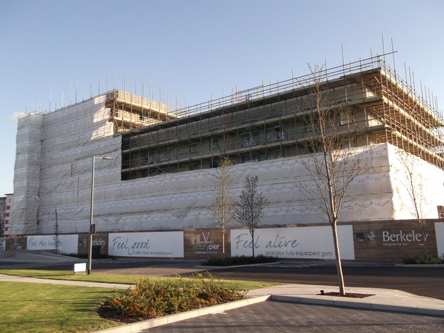
Image: © David Anstiss Taken: 14 Sep 2011
Another large housing block in the development site. Was later named Marina Heights. See Image, when complete.
Images are licensed for reuse under creativecommons.org/licenses/by-sa/2.0
Image Location
Latitude
51.3963
Longitude
0.554992