Lower Carrogs Road near its junction with Ryanstown Road
Introduction
The photograph on this page of Lower Carrogs Road near its junction with Ryanstown Road by Eric Jones as part of the Geograph project.
The Geograph project started in 2005 with the aim of publishing, organising and preserving representative images for every square kilometre of Great Britain, Ireland and the Isle of Man.

There are currently over 7.5m images from over 14,400 individuals and you can help contribute to the project by visiting https://www.geograph.org.uk
Lower Carrogs Road near its junction with Ryanstown Road
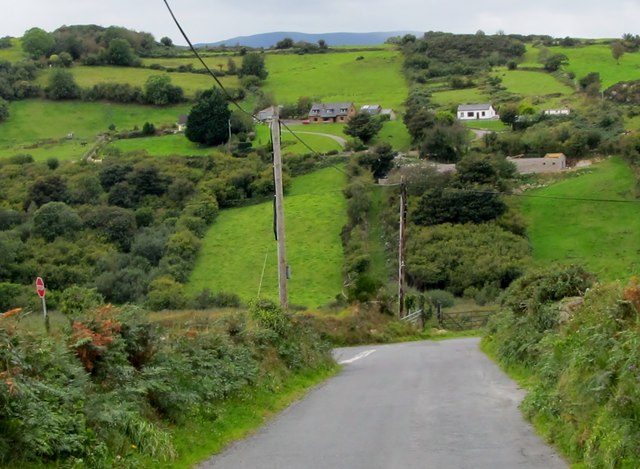
Image: © Eric Jones Taken: 14 Sep 2011
This junction overlooks Greenan Lough
Images are licensed for reuse under creativecommons.org/licenses/by-sa/2.0
Image Location
Latitude
54.148528
Longitude
-6.285904