2011 : B4465 High Street, Staple Hill, Bristol
Introduction
The photograph on this page of 2011 : B4465 High Street, Staple Hill, Bristol by Maurice Pullin as part of the Geograph project.
The Geograph project started in 2005 with the aim of publishing, organising and preserving representative images for every square kilometre of Great Britain, Ireland and the Isle of Man.

There are currently over 7.5m images from over 14,400 individuals and you can help contribute to the project by visiting https://www.geograph.org.uk
2011 : B4465 High Street, Staple Hill, Bristol
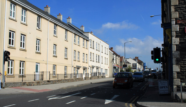
Image: © Maurice Pullin Taken: 2 Sep 2011
Looking east, Staple Hill's shopping centre lies ahead then the road continues to Mangotsfield. At the junction with Acacia Road to the right and Pendennis Road to the left.
Images are licensed for reuse under creativecommons.org/licenses/by-sa/2.0
Image Location
Latitude
51.481212
Longitude
-2.510585