Broad Walk Recreational Ground
Introduction
The photograph on this page of Broad Walk Recreational Ground by David Anstiss as part of the Geograph project.
The Geograph project started in 2005 with the aim of publishing, organising and preserving representative images for every square kilometre of Great Britain, Ireland and the Isle of Man.

There are currently over 7.5m images from over 14,400 individuals and you can help contribute to the project by visiting https://www.geograph.org.uk
Broad Walk Recreational Ground
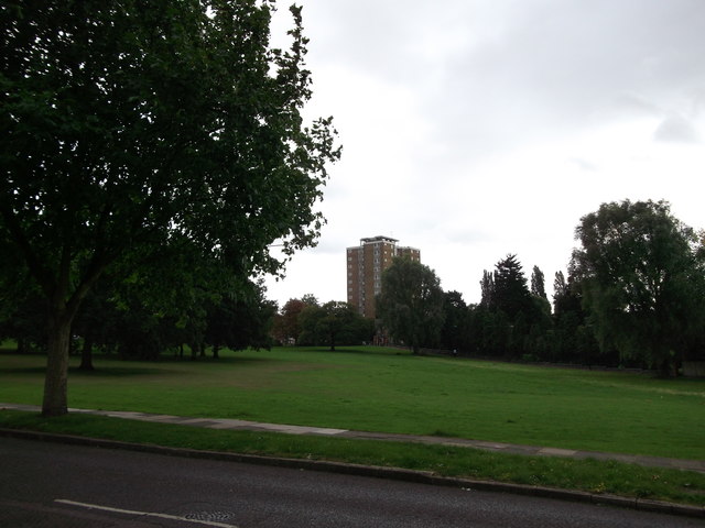
Image: © David Anstiss Taken: 11 Sep 2011
This triangular open-space is at the top of Broadwalk (road) where it meets Well Hall Road. In the background is a tower block of flats on Well Hall Road.
Images are licensed for reuse under creativecommons.org/licenses/by-sa/2.0
Image Location
Latitude
51.468666
Longitude
0.053345