Shooter's Hill Co-operative Supermarket
Introduction
The photograph on this page of Shooter's Hill Co-operative Supermarket by David Anstiss as part of the Geograph project.
The Geograph project started in 2005 with the aim of publishing, organising and preserving representative images for every square kilometre of Great Britain, Ireland and the Isle of Man.

There are currently over 7.5m images from over 14,400 individuals and you can help contribute to the project by visiting https://www.geograph.org.uk
Shooter's Hill Co-operative Supermarket
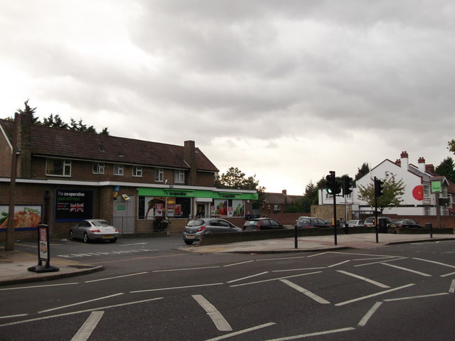
Image: © David Anstiss Taken: 11 Sep 2011
On junction of the A207 Shooter's Hill Road (on the right) and Corelli Road (behind the shop). This used to be the Brook Public House (after the nearby hospital - now demolished), In the 19th Century, it was called the Earl of Moira.
Images are licensed for reuse under creativecommons.org/licenses/by-sa/2.0
Image Location
Latitude
51.472663
Longitude
0.045892